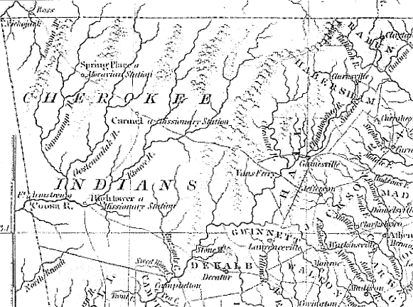
Cherokee Removal from Georgia
When Congress designated Trail of Tears National Historic Trail in 1987, it asked the National Park Service to help administer the trail. Agency professionals who had prepared the feasibility study (that preceded this designation) recognized that many key aspects of the trail’s history were not well known. One of the